![]() In 2013, we moved into our 40-acre property on the headwaters of the Mary River at Booroobin. At the time we had no experience in bush regeneration and no knowledge of the native rainforest growing around us, but we realised it was special and we had a responsibility to look after it.
In 2013, we moved into our 40-acre property on the headwaters of the Mary River at Booroobin. At the time we had no experience in bush regeneration and no knowledge of the native rainforest growing around us, but we realised it was special and we had a responsibility to look after it.
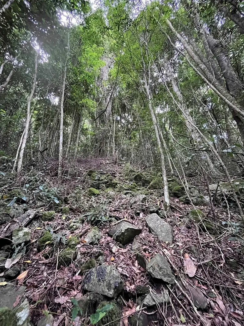
Over the last 10+ years we have been clearing lantana (mostly) starting closest to the house and moving outwards. Our aim has always been to find a walkable access down to the Mary River. However, our efforts over the years have been hindered by walls of lantana and our inability to navigate our way through the bush and over a very steep terrain.
A couple years ago, we came across a Land for Wildlife article by Nick Clancy about Avenza Maps. Following a recent visit by our Land for Wildlife Officer, Wendy Heath, she provided us with a georeferenced map of our property with contour lines. The map shows a drop of 100m from the house to the river. Once we loaded the map into Avenza, we could use the phone to navigate our way through the property. This was a game changer for us!
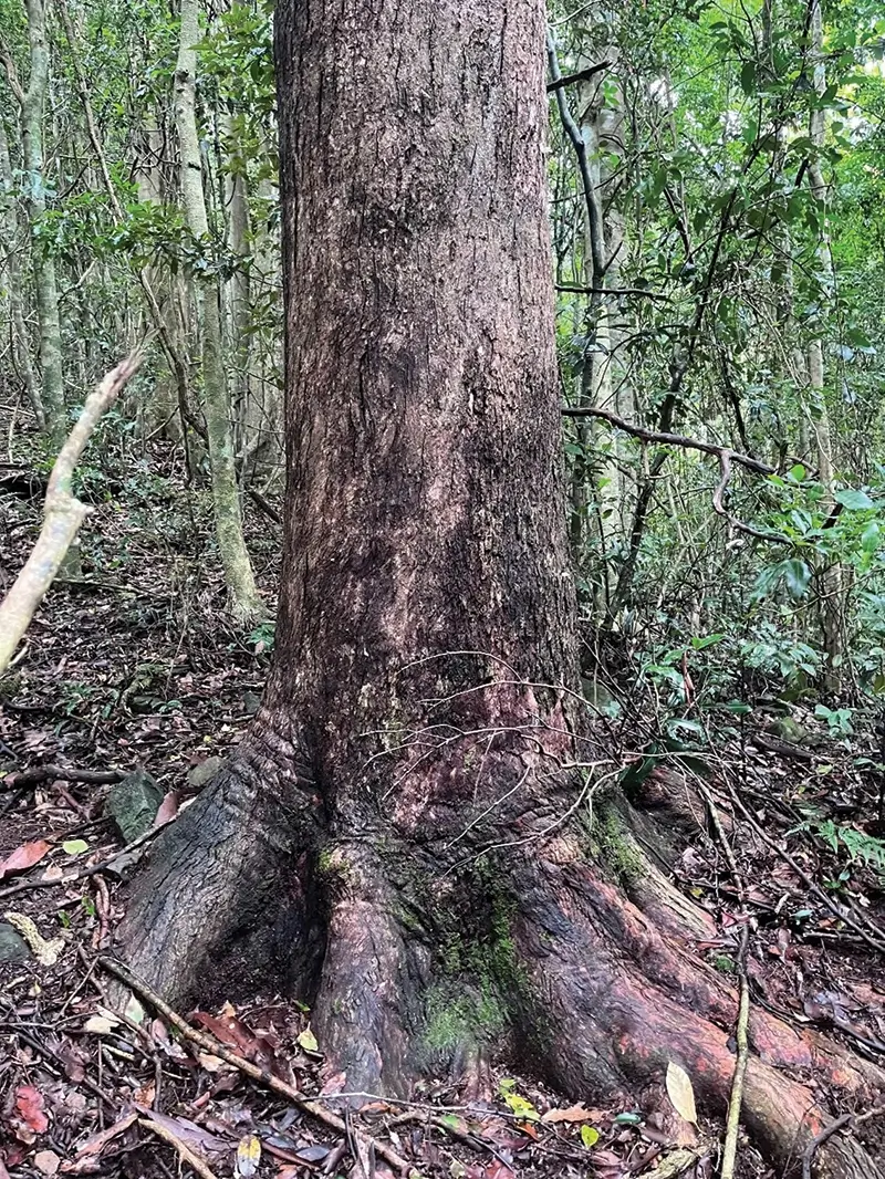
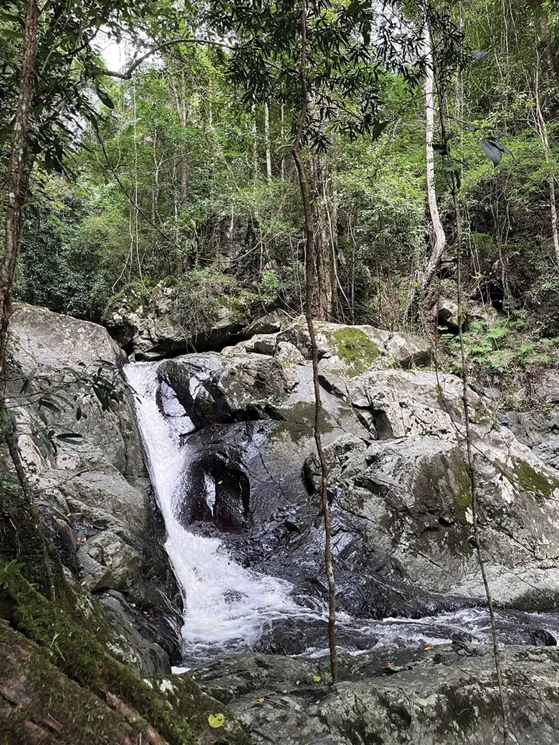
Our first step was to use the contours on the map to work out the least steep access to the river. We were then able to target our efforts and clear an initial path for the first 70m through a sea of lantana. We were rewarded with access to a mature rainforest with tall strangler figs, bunya pines, black bean trees etc…and of course to a beautifully flowing river.
Our next step was to define a project for the Land for Wildlife grant application. The aim of the project is to clear the large pockets of lantana all the way down to the riparian zone. We’ve broken down the project into multiple stages for the purpose of the grant application.
As the areas to be cleared are surrounded by rainforest, our effort will focus on maintaining the cleared areas and watch the rainforest regenerate itself due to the healthy seed bank. This will allow us to walk through the rainforest to access the river more regularly as well as discover and learn more about the flora and fauna. It will also be useful for external parties wanting to carry out surveys in the rainforest.
Our favourite features of Avenza Maps are:
- Using the device built-in GPS thus no need to access a mobile network.
- GPS tracking our walk down to the river therefore making it easier to follow the same path repeatedly.
- Using placemarks (including photos) to record the GPS location of a tree, plant or any landmark (large boulder, turkey mound etc…) so we can easily find it again.
Avenza Maps is easy and free to use, and we would highly recommend it to landholders as a tool to help navigate through their property and plan their bush regeneration projects.
Article and photos by Fabienne Henderson
Land for Wildlife Member
Booroobin, Moreton Bay
Does this show property boundaries, so I’m not working on my neighbours land ?
Hi Kate. It all depends on what is the base map that Avenza is using. Most free maps have the property boundaries. If you are creating your own geo-referenced maps, then you will need to make sure that you include property boundaries. And then they will show up on Avenza.